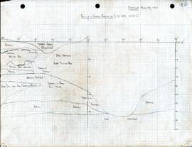
Profile of gravel feature at S135'-145' W137'6"
- 05.1-4-01-I44
- Stuk
- August 25, 1957
Profile is a detailed stratigraphy of a gravel feature at the site.
Profile of gravel feature at S135'-145' W137'6"
Profile is a detailed stratigraphy of a gravel feature at the site.
This series is contains profile drawings, topographic maps, city plans, and floor plans. These maps were drawn and annotated by various members of Charles Borden's crew for the purposes of documentation while excavating.
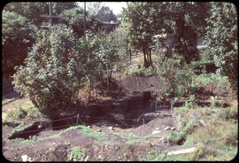
Image shows a view of the Marpole site.
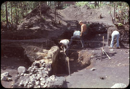
Image shows people working at the Marpole site.
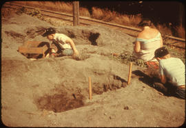
Image shows several individuals working at the Marpole site.
Image shows someone burning trash near the hotel.
Image shows someone burning garbage near the hotel.
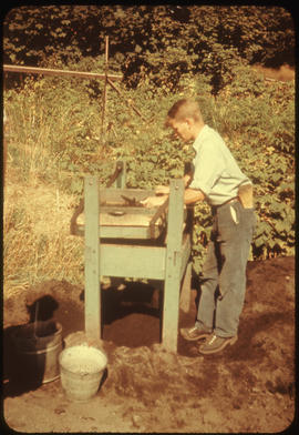
Image, from Marpole site, shows someone working at the screen.
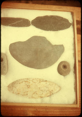
Image shows artefacts from the Marpole site.
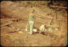
Image shows several individuals working at the Marpole site.
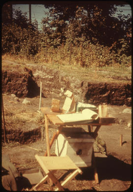
Image shows a recording table at the Marpole site.
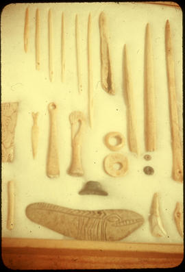
Image shows artifacts taken from the Marpole site.
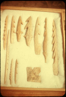
Image shows artifacts taken from the Marpole site.
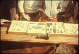
Image shows artifacts taken from the Marpole site.
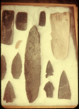
Image shows artifacts taken from the Marpole site.
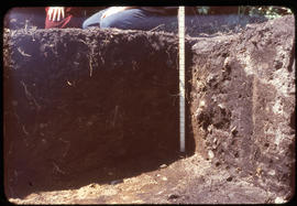
Image shows profile at the Marpole site.
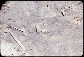
Two barbed antler point, one stone pendant in situ
Image shows two barbed antler points and a stone pendant in situ at the Marpole site.
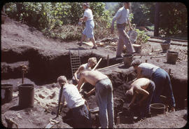
Image shows view of Marpole site with people working.
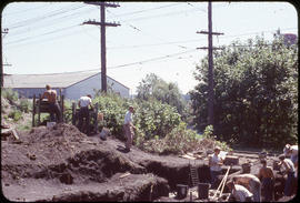
Image shows people working at the Marpole site.
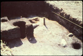
View, looking east, of post hole no. 3
Image, taken at the Marpole site, shows post hole feature in foreground and profile in background.