Showing 235 results
Archival description138 results with digital objects Show results with digital objects
Marpole floor plans S100'-160'-W150'-60'
- 05.1-4-01-I51
- Item
- Unknown
This floor plan shows multiple squared off areas, possibly excavation units.
Marpole profiles S70'-130'-W40'-E50'
- 05.1-4-01-I52
- Item
- Unknown
This map shows what appears to be multiple numbered profiles. Numbers written may refer to numbers also written on profile drawings in this file.
Cross section of North face S42'6"-W77'6"-83'5"
- 05.1-4-01-I53
- Item
- August 19th, 1955
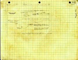
This profile is a detailed stratigraphy noting the approximate location of a house floor deposit and fire cracked rocked.
Marpole profiles S100'-160'-W150'-60'
- 05.1-4-01-I54
- Item
- Unknown
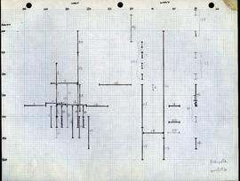
This map shows what appears to be multiple numbered profiles.
Marpole profiles S100'-S170'-W150'-110'
- 05.1-4-01-I55
- Item
- Unknown
This map shows what appears to be multiple numbered profiles. The floor plan was drawn on two separate sheets of graph paper, and glue remnants on each indicate they were previously glued together.
Marpole profiles S70'-130'-E0'-40'
- 05.1-4-01-I56
- Item
- Unknown
This map shows what appears to be multiple numbered profiles. The floor plan was drawn on two separate sheets of graph paper, and glue remnants on each indicate they were previously glued together.
Marpole floor plans and profiles S100'-170'-W100'-60'
- 05.1-4-01-I57
- Item
- Unknown
This map shows what appears to be multiple numbered profiles. The floor plan was drawn on two separate sheets of graph paper, and glue remnants on each indicate they were previously glued together.
Ma 1955 Description of fragments
- 05.1-4-01-I59
- Item
- 1955?
This paper includes two outlines of harpoon points, along with information on stratigraphy. The description also makes note of various fragments and their corresponding coordinates.
Marpole DhRs 1 Borden 1955 Poster of Maps
- 05.1-4-I01
- Item
- [1955?]
This item is a poster that consists of three maps: 1) Map No. 2: Marpole area (topographic) 2) Map No. 3: Location of Site (plan) 3) Map No. 4: Topographic map of lot #26. All maps are hand drawn.
Marpole DhRs 1 Borden 1955 Municipality of South Vancouver City Plan
- 05.1-4-I02
- Item
- [1955]
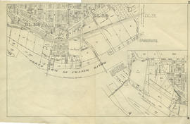
Printed map of the Municipality of South Vancouver. Annotation in top left corner clarifies location of lot 29.
Marpole DhRs 1 Borden 1949 Trench 1 (Brodie Lot) W Face
- 05.1-4-I03
- Item
- [1949]
Profile is a detailed stratigraphy of the site.
Marpole DhRs 1 Borden 1949 Trench 1 (Brodie Lot) E Face
- 05.1-4-I04
- Item
- 1949
This map is a detailed profile drawing showing stratigraphy of soil layers.
Marpole DhRs 1 Borden 1950 Trench 1 (Brodie Lot) W Face
- 05.1-4-I05
- Item
- 1950
This map is a detailed profile drawing showing soil layers, roots, and burials.
Marpole DhRs 1 Borden 1955 Profile of W Face at W95' S125' to S145'
- 05.1-4-I07
- Item
- August 18, 1955
Profile shows a detailed stratigraphy of the site.
Marpole DhRs 1 Borden 1955 Profile of W Face at 195' S150' to S160'
- 05.1-4-I08
- Item
- [1955]
Profile shows detailed stratigraphy of the site.
Marpole DhRs 1 Borden 1955 Profile of W Face at W85' S150' to S160'
- 05.1-4-I09
- Item
- [1955]
This detailed profile shows the stratigraphy of the west face.
Marpole DhRs 1 Borden 1955 Profile Drawing at W 40'
- 05.1-4-I10
- Item
- [1955]
This map is a detailed profile drawing.
Marpole DhRs 1 Borden 1955 Profile of Pits Along E Face W70' to W75' S90' to S150'
- 05.1-4-I11
- Item
- [1955]
Profile shows detailed stratigraphy.
Marpole Dhrs 1 Borden 1955 Profile of W Face of Test Pits at W95'
- 05.1-4-I12
- Item
- August 18, 1955
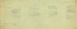
This item is a map showing the stratigraphy of four test pits: S105'-107'6", S110-112'6", S115-117'6", S120'-122'6".
Joan Du Varney


