Showing 477 results
Archival description373 results with digital objects Show results with digital objects
- 17.1/03/31/397
- Item
- [1961]
This image shows a burial.
- 17.1/03/31/398
- Item
- [1963]
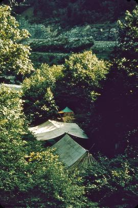
This image shows the camp site.
DjRi 3 - view south, down '59 trench
- 17.1/03/31/400
- Item
- [1963]
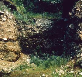
This image shows a trench and a profile.
- 17.1/03/31/401
- Item
- [1963]
- 17.1/03/31/82
- Item
- 1959
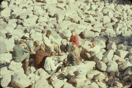
This image shows a group of archaeologists drinking tea.
- 17.1/04
- Series
This series contains all of the maps created from archaeological activity at the Milliken Archaeological site between 1960-1961.
- 17.1/04/I001
- Item
- July 8, 1959
This map shows a plans A to G. North 10 feet to south 40 feet.
DjRi 3 : floor plan of "I" horizon excavation, after completion
- 17.1/04/I002
- Item
- August 6, 1961
This map shows artifacts plotted are 9201 to 9211.
DjRi 3 profile of excavation at S 10', E 8'-20'
- 17.1/04/I003
- Item
- August 20, 1961
Floor plan at surface of zone E1 and E2 sub 2
- 17.1/04/I004
- Item
- August 9, 1960
This map is of a floor plan showing the locations of features 1-6.
DjRi 3 - profile - south 15'0" to 25'0", west 6'0"
- 17.1/04/I005
- Item
- August 17, 1961
This map shows features 64-66 plotted.
South profile at N10' between E10' and E20'
- 17.1/04/I006
- Item
- August 30, 1960
This map shows the stratigraphy of the layers.
East profile at E20' between N5' and N19'
- 17.1/04/I007
- Item
- August 25, 1960 - August 27, 1960
This map shows the stratigraphy and the location of feature 96.
Profile of E. wall of test pit
- 17.1/04/I008
- Item
- August 18, 1961
DjRi 3 south profile of bulldozed face of excavation
- 17.1/04/I009
- Item
- July 27, 1960 - July 28, 1960
DjRi-3 profile at S-5 between E5" and E27.5'
- 17.1/04/I010
- Item
- July 13, 1961
Map shows features 103 and 104
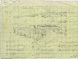
DjRi 3- 61 S42' 6" profile E8' - W6'
- 17.1/04/I011
- Item
- July 6, 1961
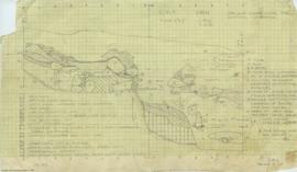
This map contains detailed legends and key showing the location of artifact types, layers, rocks and roots.
South profile. at 0 between east 5' and east 16.5'
- 17.1/04/I012
- Item
- August 28, 1960
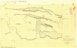
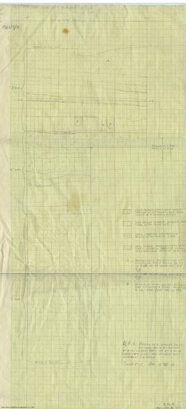
This map shows a profile of D Gravel, E Horizon, F Gravel and G Horizon.

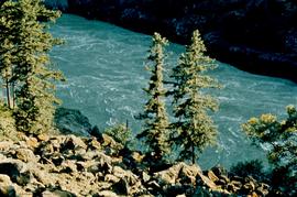
![View down stream [from CPR site, to CNR site] showing Lady Franklin Rack and Bluff north of E. Ya...](/uploads/r/null/9/7/9737/17X1-3-31-399_142.jpg)
