- 12.1-3-13-08
- Item
- 1966
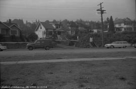
This image is frame 8 on the roll of film. The image shows the street and houses from across the street in a park.
999 results with digital objects Show results with digital objects
This image is frame 8 on the roll of film. The image shows the street and houses from across the street in a park.
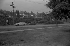
This image is frame 9 on the roll of film. Image shows the street and houses at the Locarno Beach site.
This image is frame 10 on the roll of film. The images shows an exposed burial.

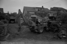
This image is frame 11 on roll of film. Image shows excavation cut into the side of the yard with horizontal and vertical rulers.
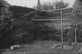
Image is frame 12 on roll of film. Image shows excavation cut into the side of the yard with horizontal and vertical rulers.
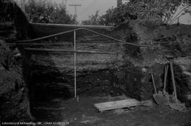
This image is frame 13 on the roll of film. Image shows excavation cut into the side of the yard with horizontal and vertical rulers. Pipes run vertically across the wall.
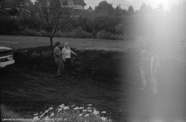
Archaeologists standing under umbrella at Locarno Beach site
This image is frame 14 on the roll of film.
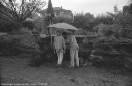
Archaeologists standing under umbrella at Locarno Beach site
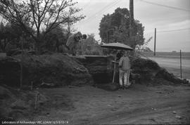
This image is frame 15 on the roll of film. The image shows two archaeologists in the foreground under an umbrella examining something and one archaeologist in the background holding a ruler.
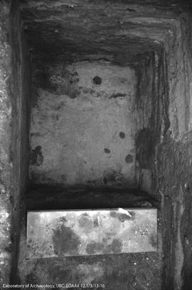
Image is frame 16 on roll of film. Image shows excavation unit from the top looking down.
This image is frame 17 on the roll of film.
Archaeologists standing on Locarno Beach site
This image is frame 19 on the roll of film. Image is faded on the right because it is the end of the roll.
This map shows the profiles for the south, west, and north faces. Co-ordinates are given for each. In addition the floor plan is also drawn on the sheet. This map is showing archaeology done on the Tettamante property.
This map shows excavations on the Tettamante property.
This item is the slide casing only. A note says "This dupe is in slides for 'Archaeology in Southwestern British Columbia'".
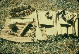
This image shows various woven and carved objects displayed on a mat.

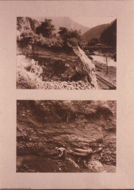
This image shows the stratrigraphy of the site prior to excavation.
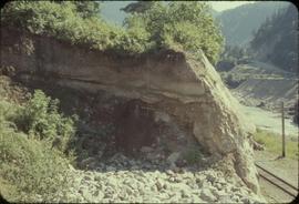
This image shows the stratrigraphy of the site prior to excavation.
![DjRi-3 : view, to SE, from CPR side, across Fraser [river], to Milliken site](/uploads/r/null/6/1/6103/17x1-3-31-3_142.jpg)
DjRi-3 : view, to SE, from CPR side, across Fraser [river], to Milliken site
Slide of black and white photos of Milliken site strata