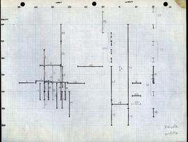
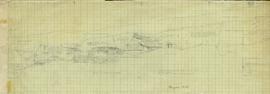
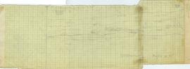
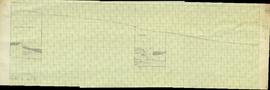
This map shows what appears to be multiple numbered profiles. The floor plan was drawn on two separate sheets of graph paper, and glue remnants on each indicate they were previously glued together.
This map shows what appears to be multiple numbered profiles. The floor plan was drawn on two separate sheets of graph paper, and glue remnants on each indicate they were previously glued together.
This map shows what appears to be multiple numbered profiles. The floor plan was drawn on two separate sheets of graph paper, and glue remnants on each indicate they were previously glued together.
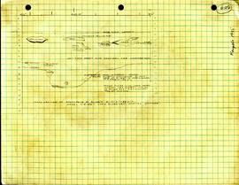
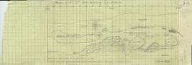
This paper includes two outlines of harpoon points, along with information on stratigraphy. The description also makes note of various fragments and their corresponding coordinates.
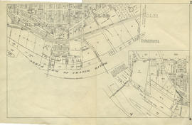
This item is a poster that consists of three maps: 1) Map No. 2: Marpole area (topographic) 2) Map No. 3: Location of Site (plan) 3) Map No. 4: Topographic map of lot #26. All maps are hand drawn.