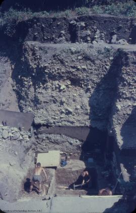
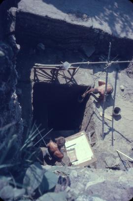
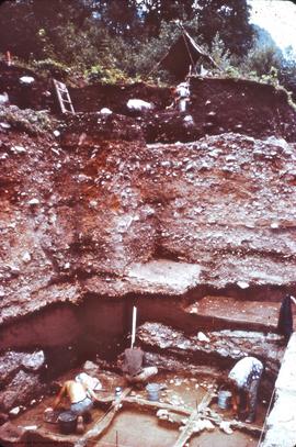
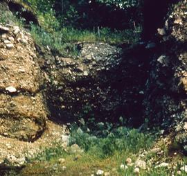
View, to E, from above, of beginning of deep pit.
- 17.1/03/31/386
- Item
- [1961]
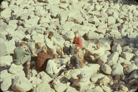
This image shows three men digging inside a trench.
1007 results with digital objects Show results with digital objects
View, to E, from above, of beginning of deep pit.
This image shows three men digging inside a trench.
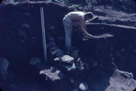
D. Rice at work on upper horizons
This image shows a man working on an archaeological feature.
D. Rice at work on upper horizons
This image shows a man working on an archaeological feature.
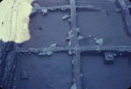
This image shows an archaeological feature.
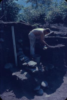
View, to W, from above, of work on deep pit
This image shows two mean above deep pit.
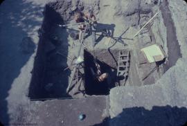
This image shows two mean above deep pit.
This image shows a trench and a gravel removal ramp.
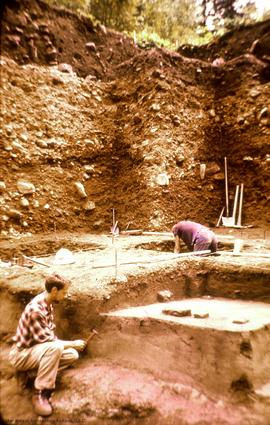
This image shows a profile and two men working on an excavation unit.
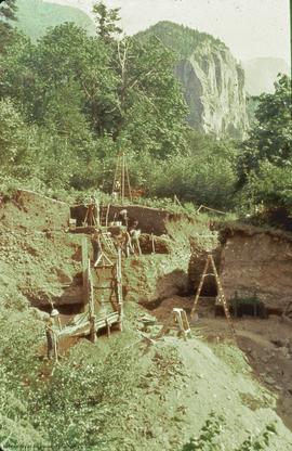
DjRi 3 - Milliken site, Fraser Canyon, British Columbia. View, looking south, of work in progress
This image shows a profile and three men working in an trench.
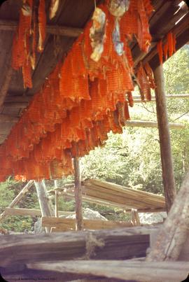
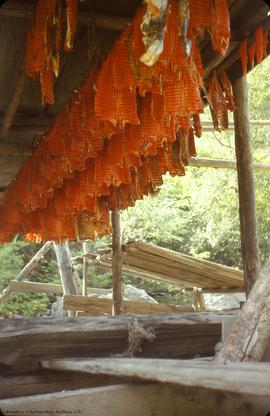
This image shows fish drying rack.
This image shows a burial.
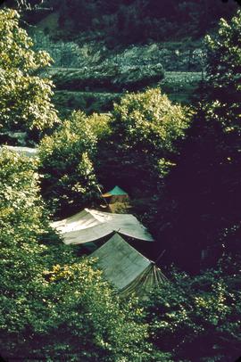
This image shows the camp site.
![View down stream [from CPR site, to CNR site] showing Lady Franklin Rack and Bluff north of E. Ya...](/uploads/r/null/9/7/9737/17X1-3-31-399_142.jpg)
DjRi 3 - view south, down '59 trench
This image shows a trench and a profile.
This image shows a group of archaeologists drinking tea.
This series contains all of the maps created from archaeological activity at the Milliken Archaeological site between 1960-1961.
This map shows a plans A to G. North 10 feet to south 40 feet.
DjRi 3 : floor plan of "I" horizon excavation, after completion
This map shows artifacts plotted are 9201 to 9211.