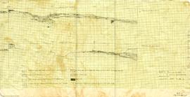
Profile - south 25' 0" to south 42' 6" - west 6' 0"
- 17.1/04/I023
- Item
- July 2, 1961
This map shows a profile with feature 99.
1007 results with digital objects Show results with digital objects
Profile - south 25' 0" to south 42' 6" - west 6' 0"
This map shows a profile with feature 99.
DjRi 3 : profiles of balks in "I" horizon excavation, from E.5 - 20'.
This sheet shows two maps. Alpha numeric 1961/P/9a shows a profile of N.10' balk. Alpha numeric 1961/P/9b shows profile of N.15' balk.
DjRi - 3 profile at E 20' between N5 and N17
This map shows a profile of "D" Gravel, E Stratum, and "F" Gravel.
DjRi 3-5 : profile of railway-cut face 130' north of CNR Tunnel at MuE 23.2 Fraser Canyon
This map shows a profile.
DjRi-3 - profile of bulldozer cut face [SW-face] from W 5' west along curving face
This map shows a profile.
DjRi : 3 W. face of trench 1 at W.5 + N.15' to 5.30'
This map shows a profile with feature 92.
This series contains 8 complete rolls of film and photograph logs. The logs detail a description of the image, date of creation, and frame number.
This file contains one roll of film showing images trench excavation, crew, and burials. Frame 13 on the filmstrip is recorded as blank and was not included when negatives were sleeved.
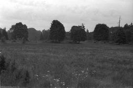
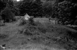
This image shows the landscape prior to excavation.
View to N, Trench I knoll crest
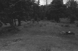
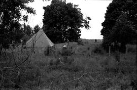
This image shows the landscape of the site prior to excavation.
View to E, Trench I knoll crest
This image shows the landscape prior to excavation.
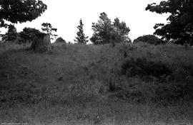
![View to E, of section of west [hope?], trench I](/uploads/r/null/3/4/3489/2x1-1-1-4_142.jpg)
View to E, of section of west [hope?], trench I
This image shows the landscape prior to excavation.
This image shows the landscape prior to excavation.
This image shows the landscape prior to excavation.
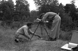
P Gladstein and R Heglar surveying
This image shows two men using survey equipment.
This image shows two men using survey equipment.
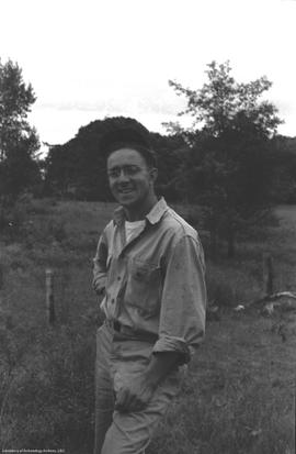
This image is a portrait photograph of Bob Hix.
This image is a portrait photograph of Bob Lane.
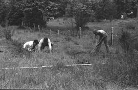
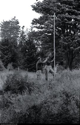
J Hirabayashi and P Goldstein staking out trench I
This image shows three men beginning the process of excavation.