- 05.1-3-13-17
- Item
- 1955
This image shows a section under excavation, while a bulldozer operates in the background. Several neighboring houses are also visible.

This image shows a section under excavation, while a bulldozer operates in the background. Several neighboring houses are also visible.
View from S. center of lot 28 looking NNE at Ma 55 trench II
This image shows the lot and is looking toward trench II. Several neighboring houses are also visible.
View of entire section under excavation - S 100' - S 120' looking NE
This image shows the entire section under excavation, looking northeast. A neighboring house is also visible.
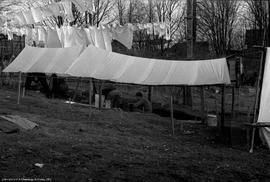
This image shows the excavation in trench under tarp. Clothesline hung in the background.
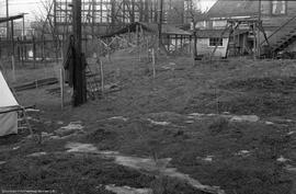
This image archaeological site prior to excavation. House shown in background.
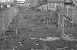
This image shows archaeological site prior to excavation with chicken wire grid set up.

This image shows excavation units dug under tarp.

View across Fraser to CPR side. From north of twin tunnels Note fishrack
This image shows the landscape near the excavation site and a fish rack.
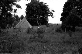
This image shows the landscape prior to excavation.
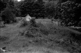
This image shows the landscape prior to excavation.
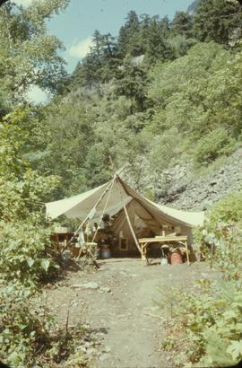
Image shows kitchen tent.
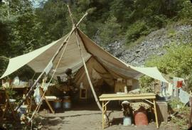
Image shows kitchen tent.
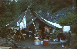
This image shows the kitchen tent.
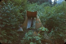
This image shows a tent.
![[Camp?] with dry rack on west bank opp CNR mile 21](/uploads/r/null/6/1/6184/17x1-3-31-12_142.jpg)
[Camp?] with dry rack on west bank opp CNR mile 21
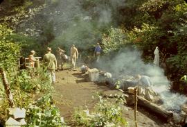
This image shows the crew packing up their camp site.
![View, across Fraser [from N of Twin Tunnels] to CPR side. Note fish rack](/uploads/r/null/8/9/8992/17X1-3-31-320_142.jpg)
View, across Fraser [from N of Twin Tunnels] to CPR side. Note fish rack
This image shows a fish drying rack.
![View, across Fraser [from N of Twin Tunnels] to CPR side. Note fish rack](/uploads/r/null/8/9/8980/17X1-3-31-319_142.jpg)
View, across Fraser [from N of Twin Tunnels] to CPR side. Note fish rack
This image shows a fish drying rack.
![View, across Fraser [from N of Twin Tunnels] to CPR side. Note fish rack](/uploads/r/null/8/9/8971/17X1-3-31-318_142.jpg)
View, across Fraser [from N of Twin Tunnels] to CPR side. Note fish rack
This image shows the landscape near the excavation site and a fish rack.
![View, across Fraser [from N of Twin Tunnels] to CPR side. Note fish rack](/uploads/r/null/8/9/8962/17X1-3-31-317_142.jpg)
View, across Fraser [from N of Twin Tunnels] to CPR side. Note fish rack
This image shows the landscape near the excavation site and a fish rack.