Title and statement of responsibility area
Title proper
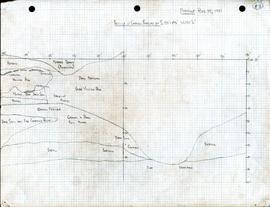
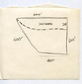
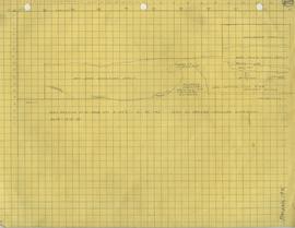
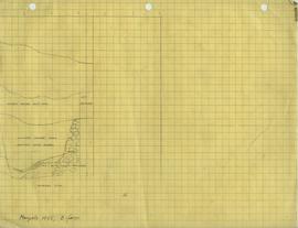
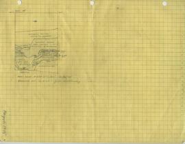
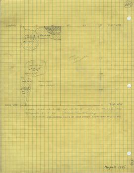
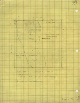
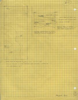
Marpole DhRs 1 Borden 1955 Profile Drawings
General material designation
- Textual record
- Cartographic material
Parallel title
Other title information
Title statements of responsibility
Title notes
Level of description
File
Reference code
05.1-4-01
Edition area
Edition statement
Edition statement of responsibility
Class of material specific details area
Statement of scale (cartographic)
Statement of projection (cartographic)
Statement of coordinates (cartographic)
Statement of scale (architectural)
Issuing jurisdiction and denomination (philatelic)
Dates of creation area
Date(s)
-
1955 (Creation)
Physical description area
Physical description
23 maps. - 17 profiles. - 11 plans. and accompanying material
Publisher's series area
Title proper of publisher's series
Parallel titles of publisher's series
Other title information of publisher's series
Statement of responsibility relating to publisher's series
Numbering within publisher's series
Note on publisher's series
Archival description area
Name of creator
(1905-1978)
Custodial history
Scope and content
This file contains mostly profile drawings done of letter size graph paper. Not all maps are numbered, however, the ones that are have numbers: 25, 28-29, 30, 32, 39, 44-46, 48-53. The file also contains three pages of notes and four copies of a hand drawn plan of the street and lots.
Notes area
Physical condition
Immediate source of acquisition
Arrangement
Language of material
Script of material
Location of originals
Availability of other formats
Some of the items in this file have been digitized by LOA archivist.
Restrictions on access
Terms governing use, reproduction, and publication
Under Copyright. Permission must be obtained from rights holder prior to publication or reproduction.

