


Zone du titre et de la mention de responsabilité
Titre propre
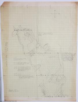
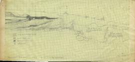
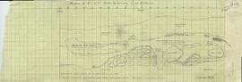
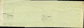
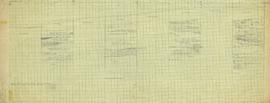
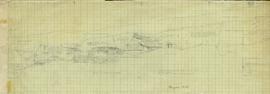
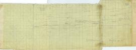
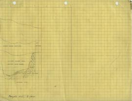
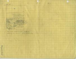
Maps
Dénomination générale des documents
- Document cartographique
Niveau de description
Série organique
Cote
05.1-4
Zone des dates de production
Date(s)
-
1949-1950, 1955, 1957 (Production)
Zone de description matérielle
Description matérielle
47 maps
Zone de la description archivistique
Nom du producteur
(1905-1978)
Historique de la conservation
These maps have been housed at the Laboratory of Archaeology since their transfer.
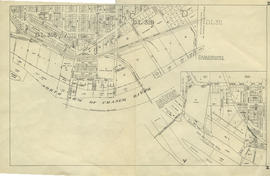
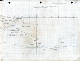
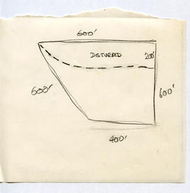
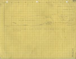
Portée et contenu
This series is contains profile drawings, topographic maps, city plans, and floor plans. These maps were drawn and annotated by various members of Charles Borden's crew for the purposes of documentation while excavating.
Zone des notes
Classement
These maps have been contained together in one series due to the lack of arrangement upon processing the materials.
Délais d'utilisation, de reproduction et de publication
Under Copyright