Title and statement of responsibility area
Titel
Maps
Algemene aanduiding van het materiaal
- Cartographic material
Parallelle titel
Overige titelinformatie
Title statements of responsibility
Titel aantekeningen
Beschrijvingsniveau
Reeks
referentie code
05.1-4
Editie
Editie
Edition statement of responsibility
Class of material specific details area
Statement of scale (cartographic)
Statement of projection (cartographic)
Statement of coordinates (cartographic)
Statement of scale (architectural)
Issuing jurisdiction and denomination (philatelic)
Datering archiefvorming
Datum(s)
-
1949-1950, 1955, 1957 (Vervaardig)
Fysieke beschrijving
Fysieke beschrijving
47 maps
Publisher's series area
Title proper of publisher's series
Parallel titles of publisher's series
Other title information of publisher's series
Statement of responsibility relating to publisher's series
Numbering within publisher's series
Note on publisher's series
Archivistische beschrijving
Naam van de archiefvormer
(1905-1978)
Geschiedenis beheer
These maps have been housed at the Laboratory of Archaeology since their transfer.
Bereik en inhoud
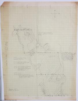
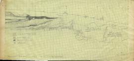
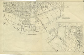
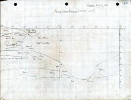
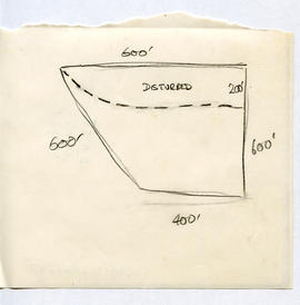
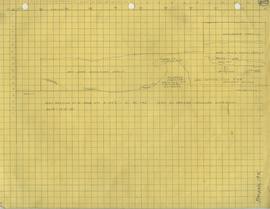
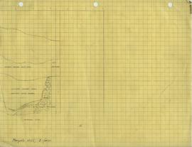
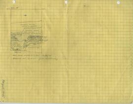
This series is contains profile drawings, topographic maps, city plans, and floor plans. These maps were drawn and annotated by various members of Charles Borden's crew for the purposes of documentation while excavating.
Aantekeningen
Materiële staat
Directe bron van verwerving
Ordening
These maps have been contained together in one series due to the lack of arrangement upon processing the materials.
Taal van het materiaal
Schrift van het materiaal
Plaats van originelen
Beschikbaarheid in andere opslagformaten
Restrictions on access
Termen voor gebruik, reproductie en publicatie.
Under Copyright

